Gretna: River Sark & Shore Walk
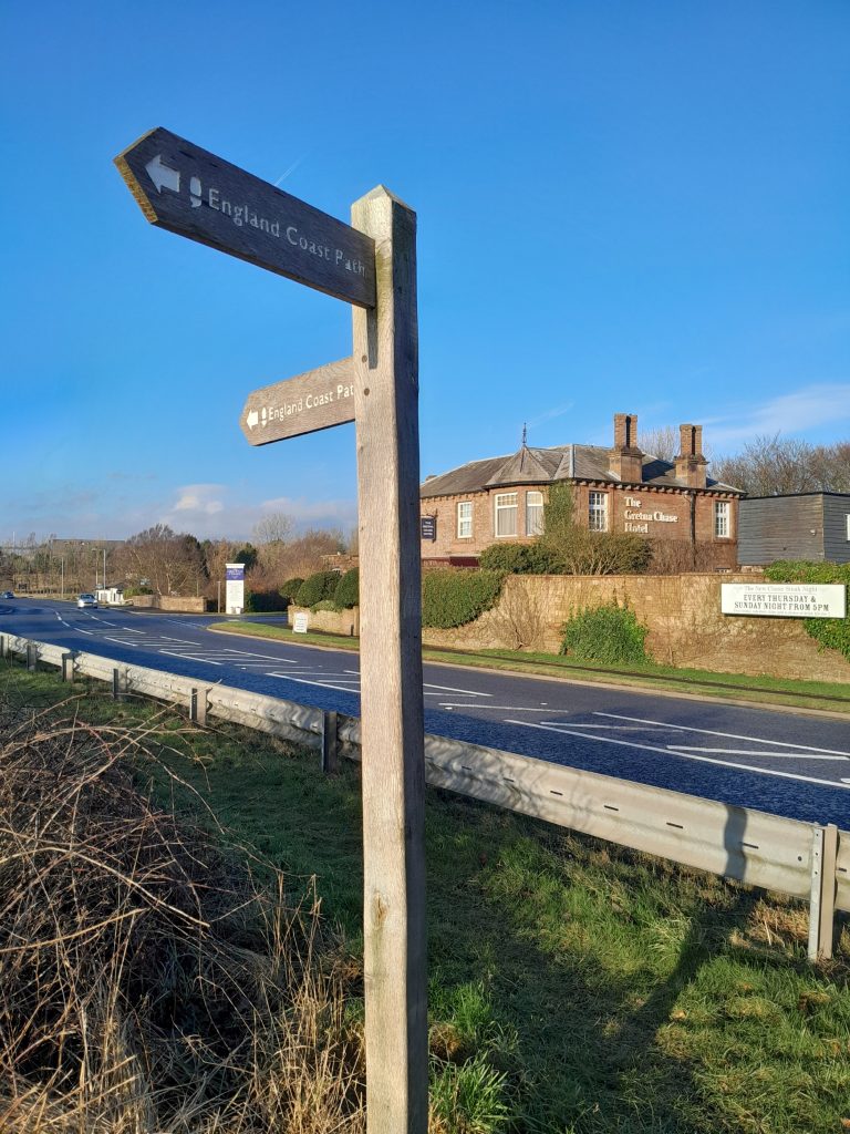
Featuring today a walk which, as the sign indicates, is a Core Path (249)
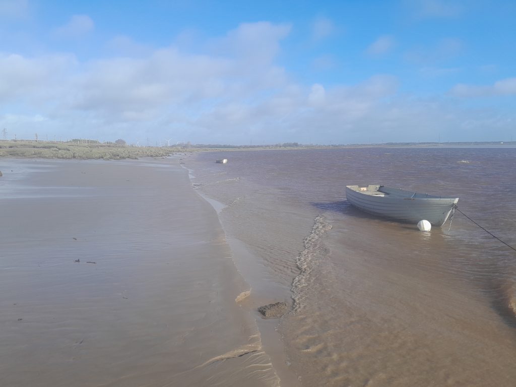
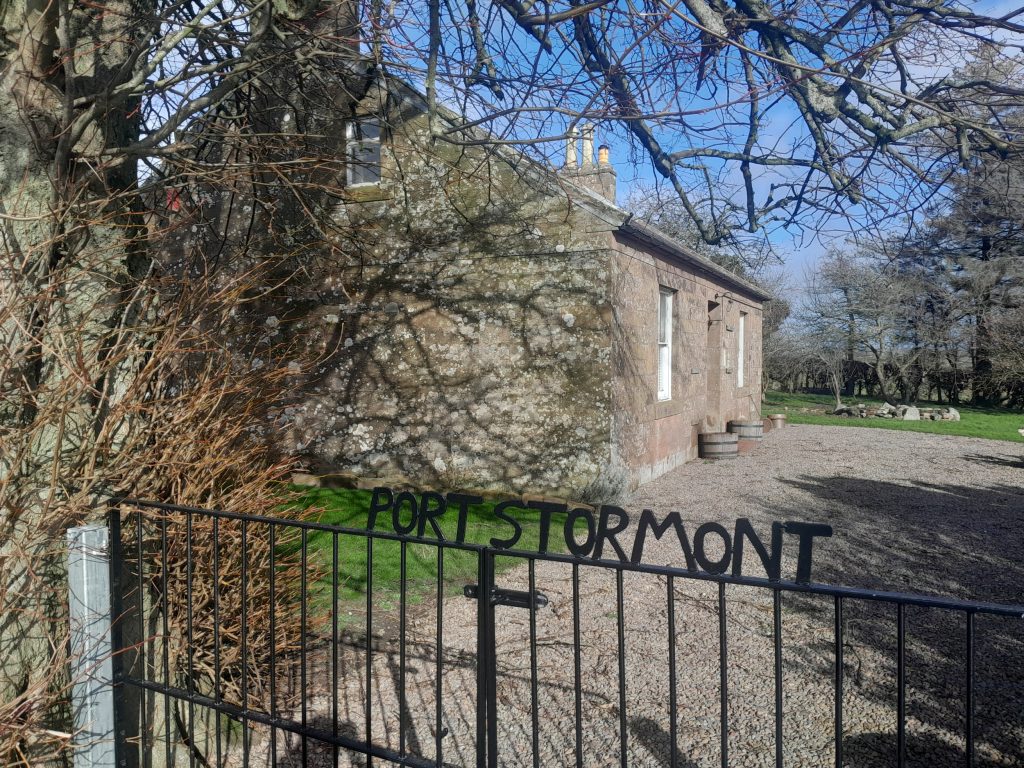
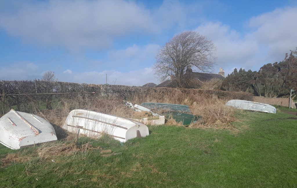
– though one of the many not listed in the D&G Council Core Paths guide (not sure what the criteria is for inclusion?). It begins at the iconic/historic Sark Bridge and ‘Old Toll House’ crossing point between Scotland and England. It then follows the River Sark, past the World War One-era ‘broken bridge’ (as locals call it), skirts the Solway Shore for a mile or so, and arrives at the small beach at Stormont – which recently appears to have been renamed ‘Port Stormont’ (there are a few old boats in the vicinity).
There is no clearly defined path on the route, and the section beside the Solway can present obstacles (in places, literally). It’s perhaps advisable to stick as close to the shoreline as possible, as the fields are criss-crossed with deep and in places very wide ruts (water-filled if there’s been rain). Low tide is perhaps the best time to enjoy the walk, which enables a trek along the edge of the long stretch of beach immediately next to the bank. Though above all, don’t venture out onto the sands, they are potentially very dangerous.
But before commencing the walk, let’s take a look at the ‘Border Crossing’ locale, famous (or infamous) in Gretna Green’s ‘elopement marriage’ tradition, either side of the Sark Bridge.

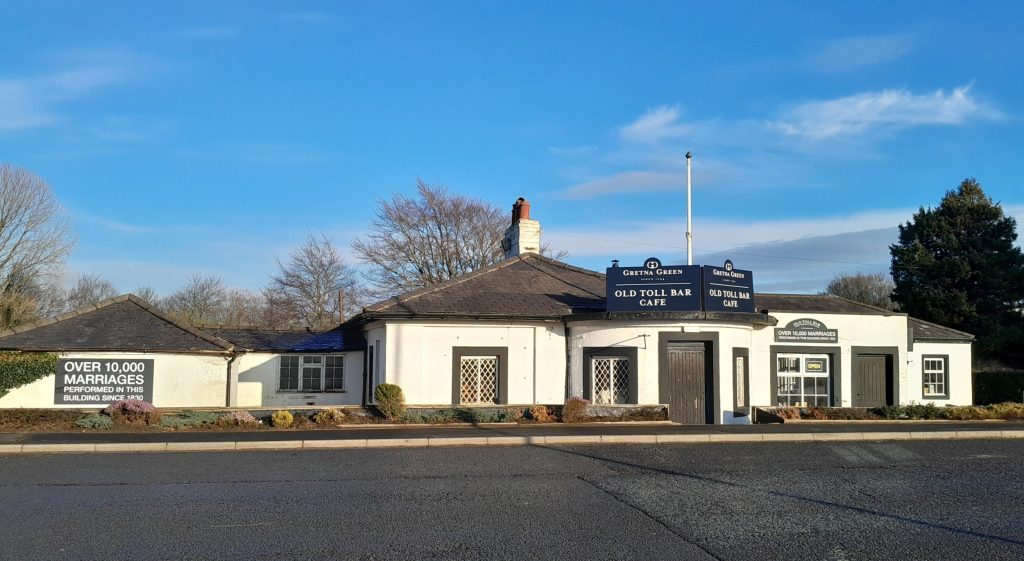
On the west (‘Scotch’) side of the bridge sits the early-19th century Old Toll House – itself scene of a fair number of irregular (‘quicky’) marriages performed for young lovebirds arriving from England, notably during the mid-later Georgian era. Scottish marriage laws were more lax than their English counterparts, especialy in permitting under-21s to tie the knot without parental consent. Athough the official purpose of the Toll House was to collect tolls for carriages and other ‘traffic’ crossing the bridge. To find out more about Gretna Green’s fame as Britain’s former elopement marriage capital, visit the world-renowned Blacksmith’s Shop at the ‘Gretna Green Experience’ (where you’ll quite likely see a marriage taking place today, if not a ‘clandestine’ one!).
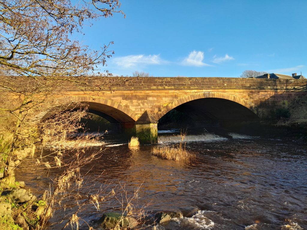
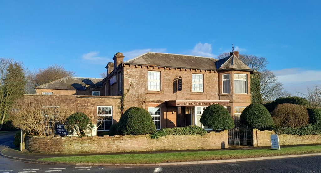
The Sark Bridge, over the named river dividing the two nations. This was probably designed by the famous civil engineer Thomas Telford, and is dated to 1810 (the older bridge is a mile or so upstream). On the English side, we encounter the former Sark Bridge Hotel, now the ‘Gretna Chase’ – probably recalling the fact that young couples fleeing to Scotland often had furious family on their heels (anxious to prevent the intended nuptials).
Just opposite the ‘Chase’, we come across the official start of another walk: The King Charles III England Coastal Path. At 2,700 miles, it perhaps presents a bit more of a challenge than our 3-miles Gretna stroll. Recently ‘opened’, however from the outset polly pockets signs attached to the gate announced the first section of the route (some ten miles) was closed, which seems to remain the case. The only option for walkers heading south is to follow the verge along the Metal Bridge road – flanked by the motorway, and with no pavements (best avoid).


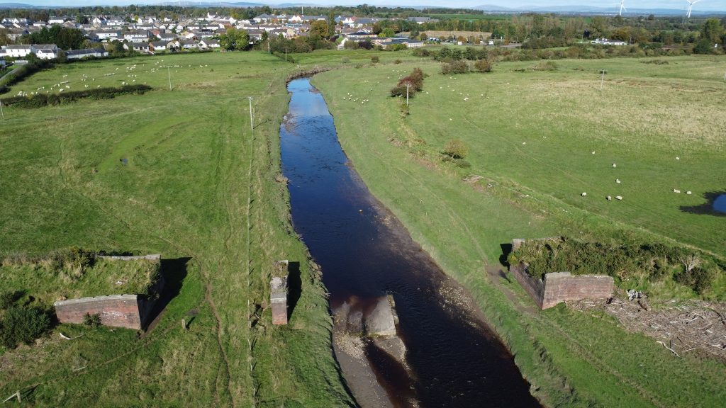
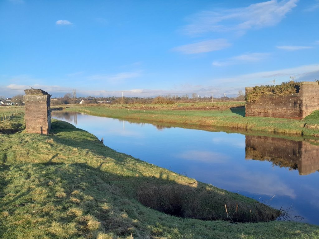
On beginning our River Sark-Gretna Shore jaunt, a half-mile down the river we find the remains of the railway bridge once serving the vast complex of World War munitions factories, at the time the largest in the world. To find discover this fascinating period in, not only Gretna’s, but the nation’s history, visit the acclaimed Devil’s Porridge Museum in nearby Eastriggs.
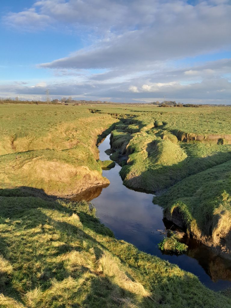
South of the ‘broken bridge’, best skirt the shoreline (but do not wander onto the dangerous sands) in order to avoid these features running through the fields.
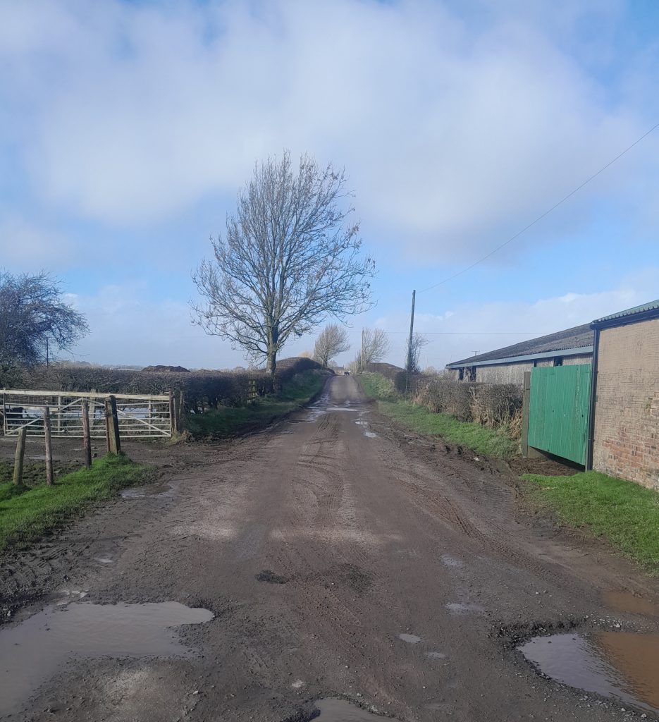
On naviagting the shoreline, we arrive at a little bay beside Stormont Cottage – which from a sign on the cottage gate appears now to be called ‘Port Stormont’. At this point options are either to return to the starting point, or follow the track (pictured) up past the ‘Old Graitney’ farm to the lower end of Gretna town. Although the former option allows (if in crossing the field) a diversion onto another path up to Gretna. But there’s still one other very interesting, ancient, thing to see here, as a heritage information board in front of Stormont Cottage indicates ….

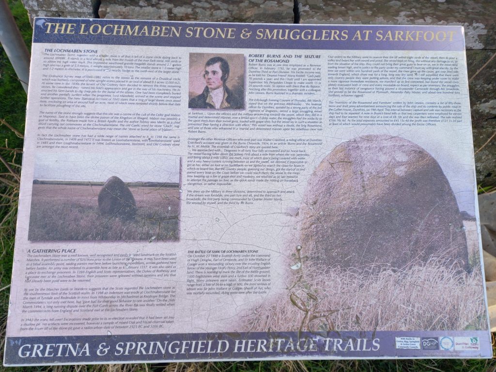
The heritage information panel relates stories of local smugglers, Robert Burns, the prehistoric Lochmaben Stone(s), and the Battle of Sark as fought in this vicinity during October 1448 – when a seemingly careless (or over-confident) invading English force was effectively ambushed by local Annandale men, and almost half their number slain or drowned.
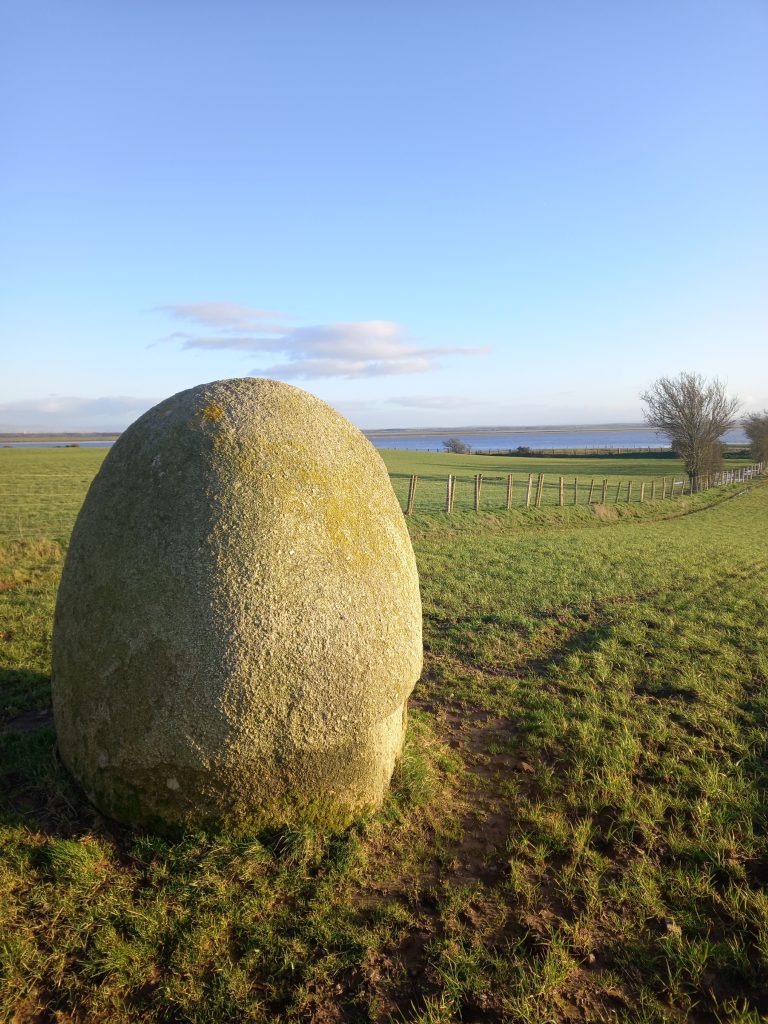
The Lochmaben Stone is thought to be the remains of a neolithic stone circle. Alongside the upright stone, another lies on its side. The other stones possibly forming the circle may have been removed by farmers in recent centuries. They are situated in a field, alongside a fence, and not easy to access.
Finally, a drone view of the ‘broken bridge’ over the River Sark, with part of Gretna town in the distance.