Gretna to Dumfries ‘scenic (back) road’ trip
If you’re heading up to visit Dumfries and Galloway from south of the Border, the 25-mile journey along the A75 from Gretna to Dumfries may not exactly be the best visual introduction to the region. Sure, there’s some pretty countryside along the stretch. But the usual scenario of heavy traffic (including lorries bound for the Irish ferries at Cairnryan) probably won’t give you much time to admire it. While ‘stopping off’ along the line of the road is not really feasible.
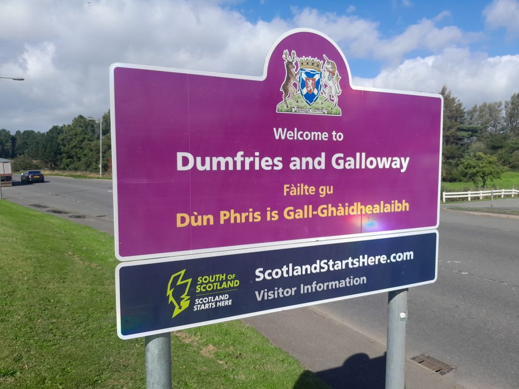
So why not choose a more pleasant option, and take time to view shorelines and heritage sites (plus do a bit of shopping and/or take refreshments)? The one outlined below follows minor roads from Gretna – offering two alternative routes at the Dumfries ‘end’. (image: Welcome road sign on crossing the Border on the B7076 at Gretna – M6 motorway exit just a few hundred yards away)
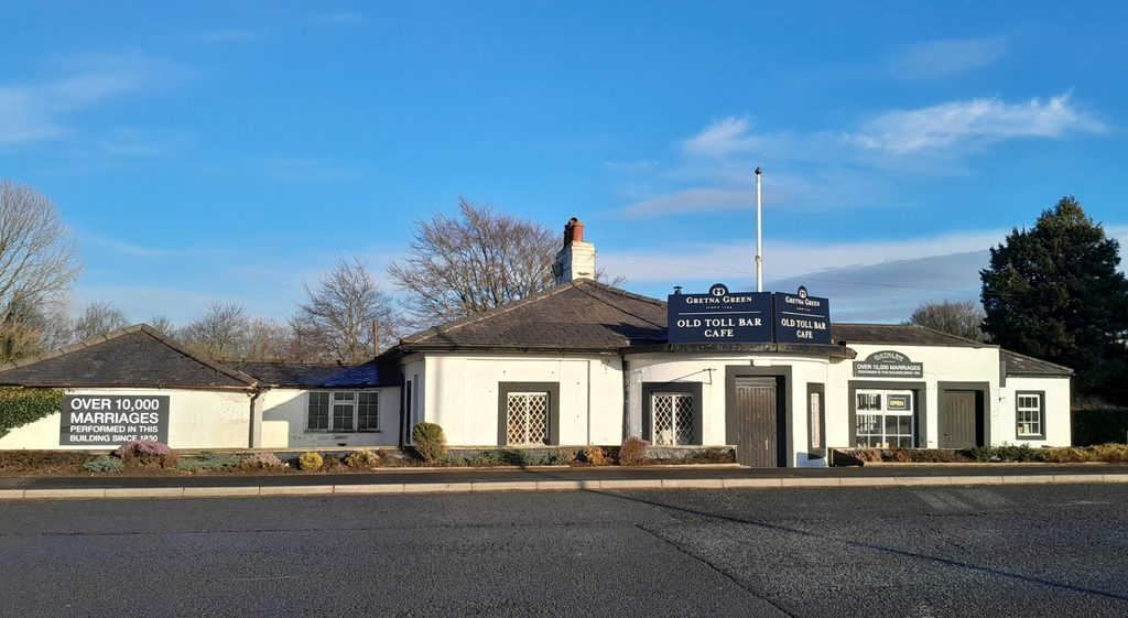
On passing over Thomas Telford’s c.1810 bridge across the River Sark (marking the national boundary between England and Scotland) you will notice the Old Toll Bar. Dating from the same era, this was built as a tollhouse taking payment for ‘traffic’ using the road – but would quickly become a venue for Gretna’s famed ‘clandestine marriage’ trade. Its more recent role as a café recently ended – but there are several eating-and-drinking options in the nearby Caledonia Park shopping centre (for which there is a large free carpark just beyong the Welcome sign and another at the Park itself).
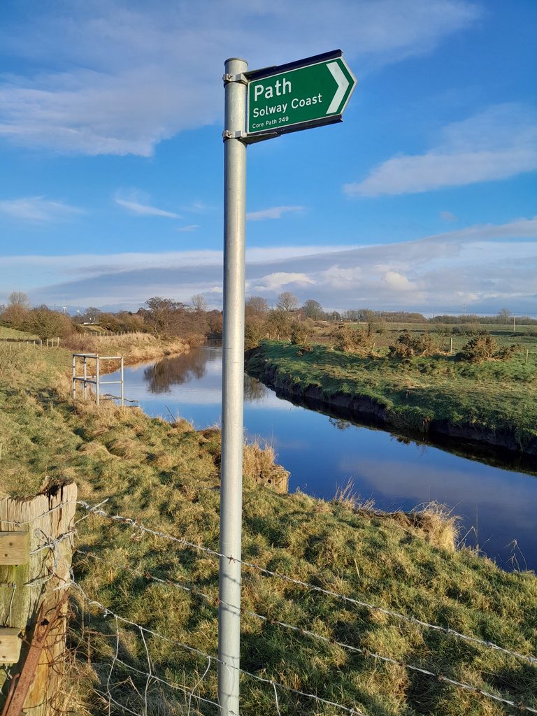
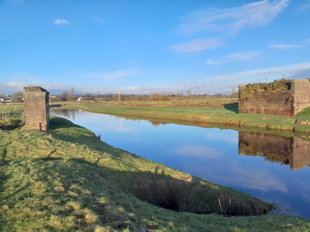
From this vicinity – a stone’s throw from the Welcome sign – a signposted trail follows the River Sark to the Gretna Shore and the Solway. Along the way, you will pass the remains of what is known locally as the ‘broken bridge’, formerly a WW1 bridge serving the extensive Gretna munitions factories. (images: left, walk along the River Sark-Solway Shore; below the ‘broken bridge’).
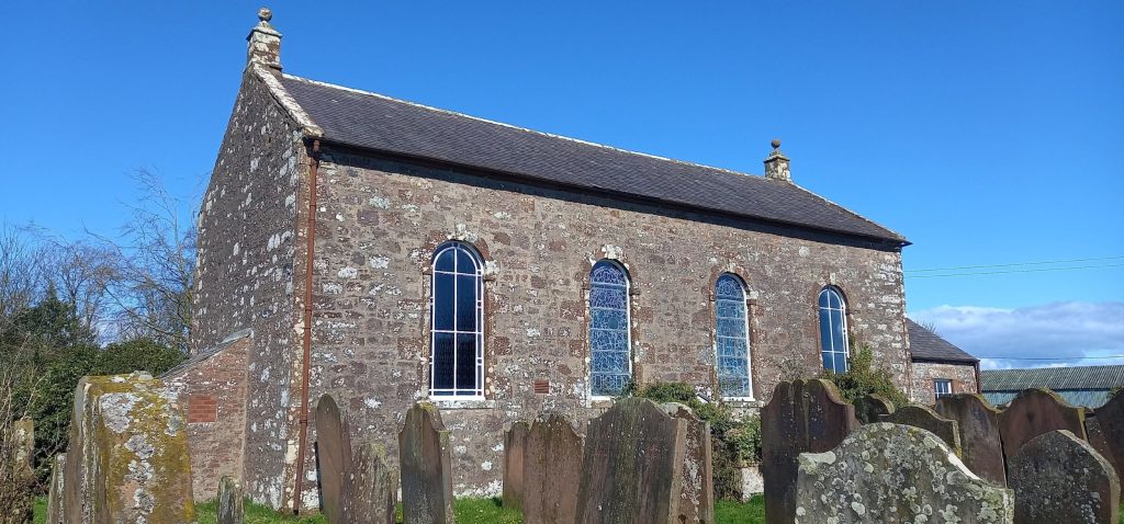
Some 6 miles west of Gretna, taking the B721 road, the historic village of Dornock is reached. The old parish church closed some years ago, but its surrounding graveyard – filled with richly-carved memorials to local families (those visible dating from the early 1700s) – is a heritage spot well worth visiting.
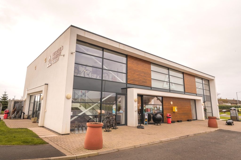
Next stop, Annan – a town steeped in history where the ‘de Brus’ family, as in the forebears of Robert the Bruce, built a major castle in the early-twelfth century. Only huge earthen mounds remain of this fortress, looking down across the River Annan. If you’ve time, follow the ‘Annan Active Heritage Trail’ around the town (the first information plaque as shown is located at the castle) and, if open for the season, Annan Museum – and of course likewise the Devil’s Porridge Museum (located at Eastriggs, which tells the story of the HM Gretna – the greatest munitions factory on earth during WW1). Shopping and snack (or meal) facilities around Annan are plentiful.
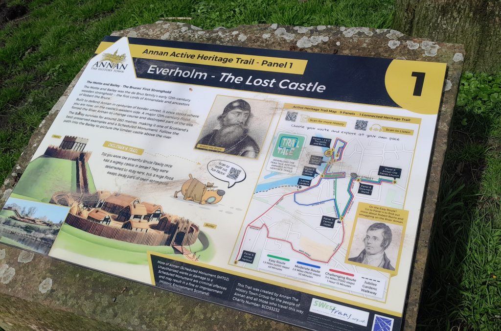
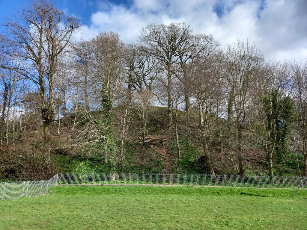
Images (clockwise): Heritage Trail Panel No.1, the ‘motte’ of Annan Castle, The Devil’s Porridge Museum (Eastriggs), Annan Museum

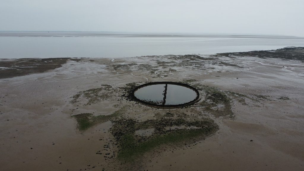
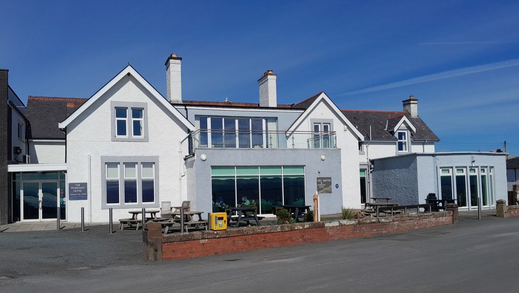
On leaving Annan at its western end on crossing the old bridge, take the turning onto the B721 – marked by a large panel ‘Galloway Tourist Route to Ayr/Solway Heritage Trail’. After a couple of miles, take another to your left marked Powfoot. Powfoot began to take shape (from an earlier fishing hamlet) as a tourist resort in late-Victorian times – though never quite took off in that respect. When the tide is out, you can clearly see the tidal swimming pool (no longer used). There is limited parking along the shoreline in laybys – in the vicinity of the Powfoot Hotel which offers food and drink to non-residents as it did a century ago. There are fine walks along the beach in either direction, especially at low tide – though be careful in doing so as the sands are potentially dangerous, i.e., areas of sinking sand and rapidly incoming tides. (images below: aerial view of the tidal swimming pool, with the Cumbrian coast in the distance, taken on a rather dull day; Powfoot Hotel ‘then and now’).
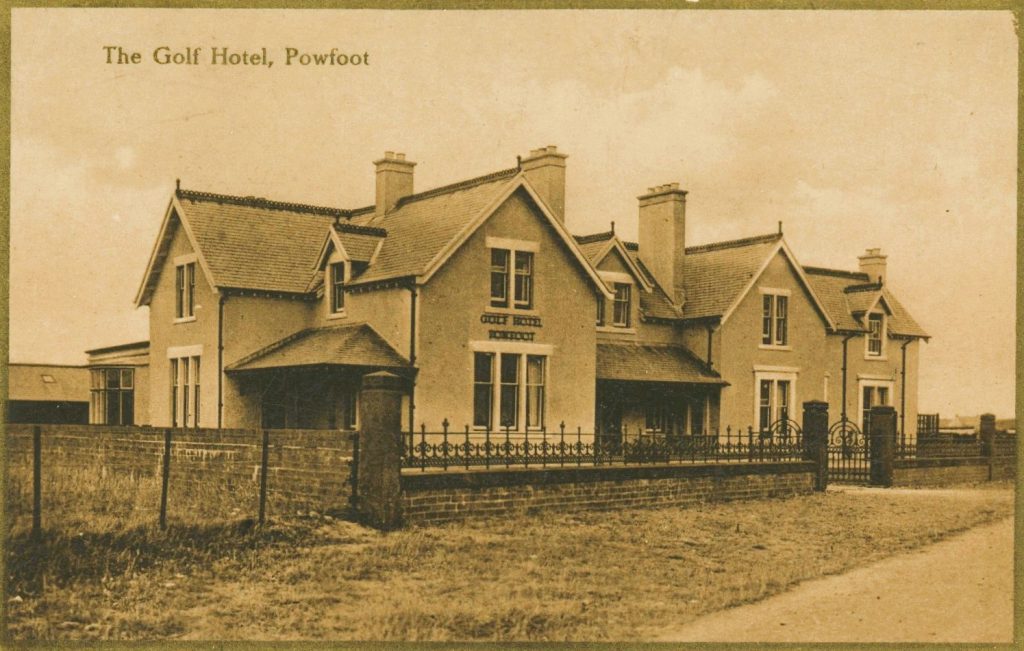
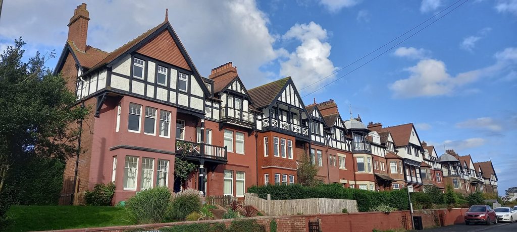
In leaving Powfoot by the same route you came in, continue on the B721 to Cummertrees. Just before entering the village, stands a line of elegant Edwardian terraced houses that may look somewhat out of place in open countryside. This is Queensberry Terrace (c.1900), intended primarily to serve as boarding houses for the nearby resort.
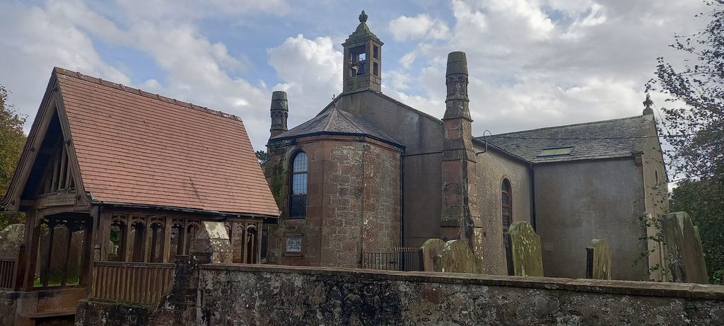
Cummertrees itself is an attractive village. Its centrepiece is the old kirk, now a residential conversion. However you can visit the surrounding graveyard, which contains amongst its many historic memorials a burial enclosure to the Marquesses of Queensberry of nearby Kinmount House.
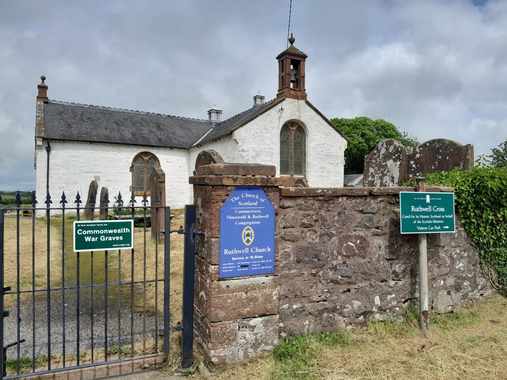
A further 3 or so miles on, minor roads on either side of the B721 take you to (1) Ruthwell and its Savings Bank Museum (contact the museum regarding potential visits) and (2) the beautiful old church and churchyard of Ruthwell – which contains the magnificent eighth-century carved Ruthwell Cross. The door of the church (kirk) is left unlocked during the day for visitors to enter.
Rejoining the main road, just before Clarencefield turn left onto the B725, where a panel indicates attractions including Caerlaverock Castle.
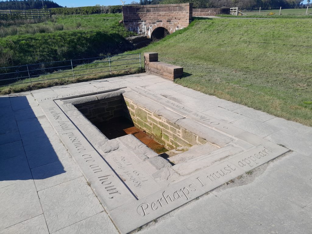
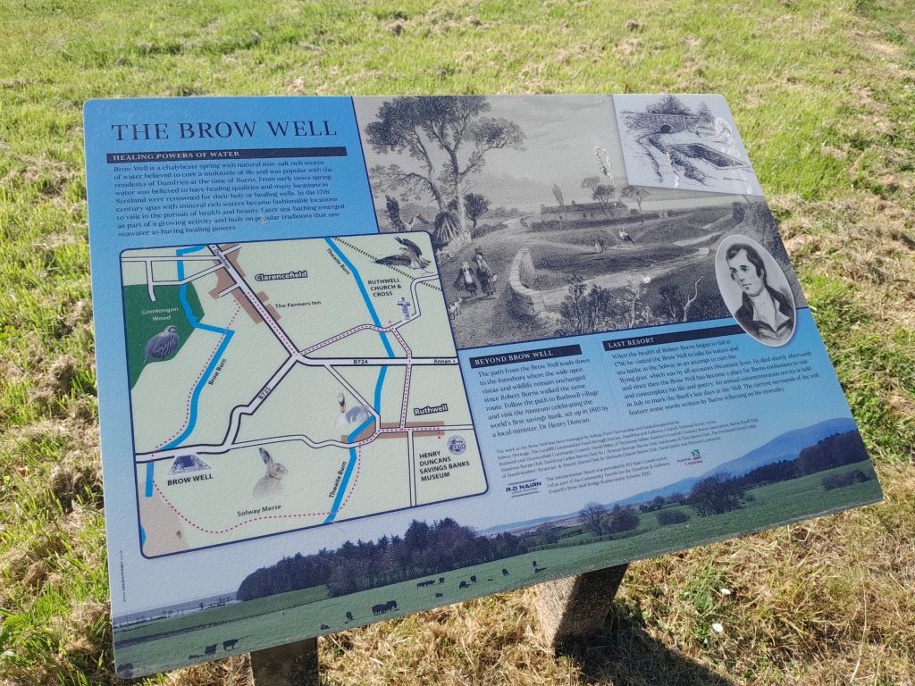
A short drive along this road, the Brow Well is located – where Robert Burns regularly visited in the year before his death, this in the vain hope that ‘taking the waters’ here would cure the illness that ultimately caused his death. There are fine signposed walks from here back along the Solway shoreline to Ruthwell.
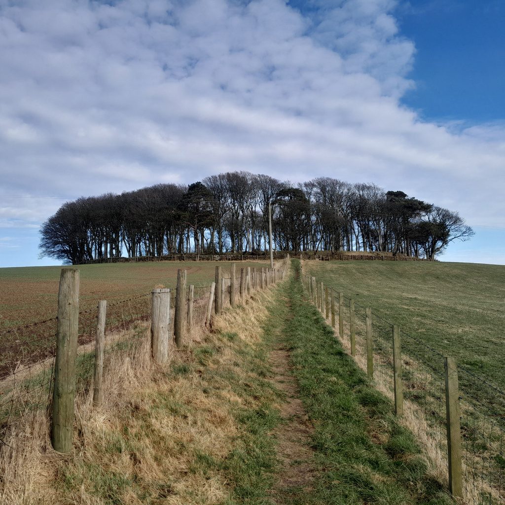
Before long, the end-of-route alternative arrives in the form of a T-junction at Bankend village. Turning left at this point leads towards Caerlaverock – with its magnificent Castle (admission charge) or more exactly ‘castles’ as the remains of the original version lie within woodland a short distance from the iconic medieval triangular fortress. From a parking spot, walk up to the ancient hillfort of Wardlaw – planted with trees some two centuries ago – from where you will be rewarded (on a clear day anyway) with stunning views across the Solway.
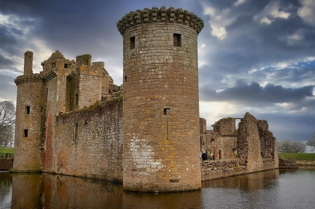
Caerlaverock Castle, home across four centuries to the principal branch of the Maxwells, is worth spending a few hours exploring. For fans of nature and wildlife, the vicinity is also home to the nature reserve of Caerlaverock Wetland Centre. (image courtesy of Darren Frazer photography).
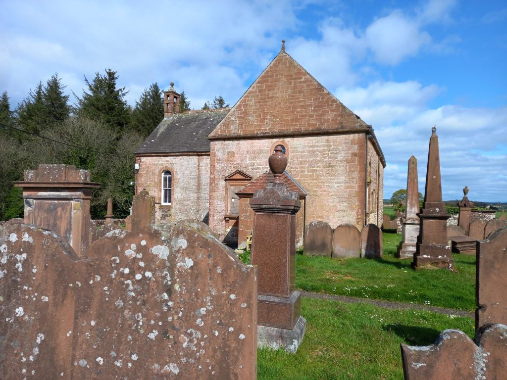
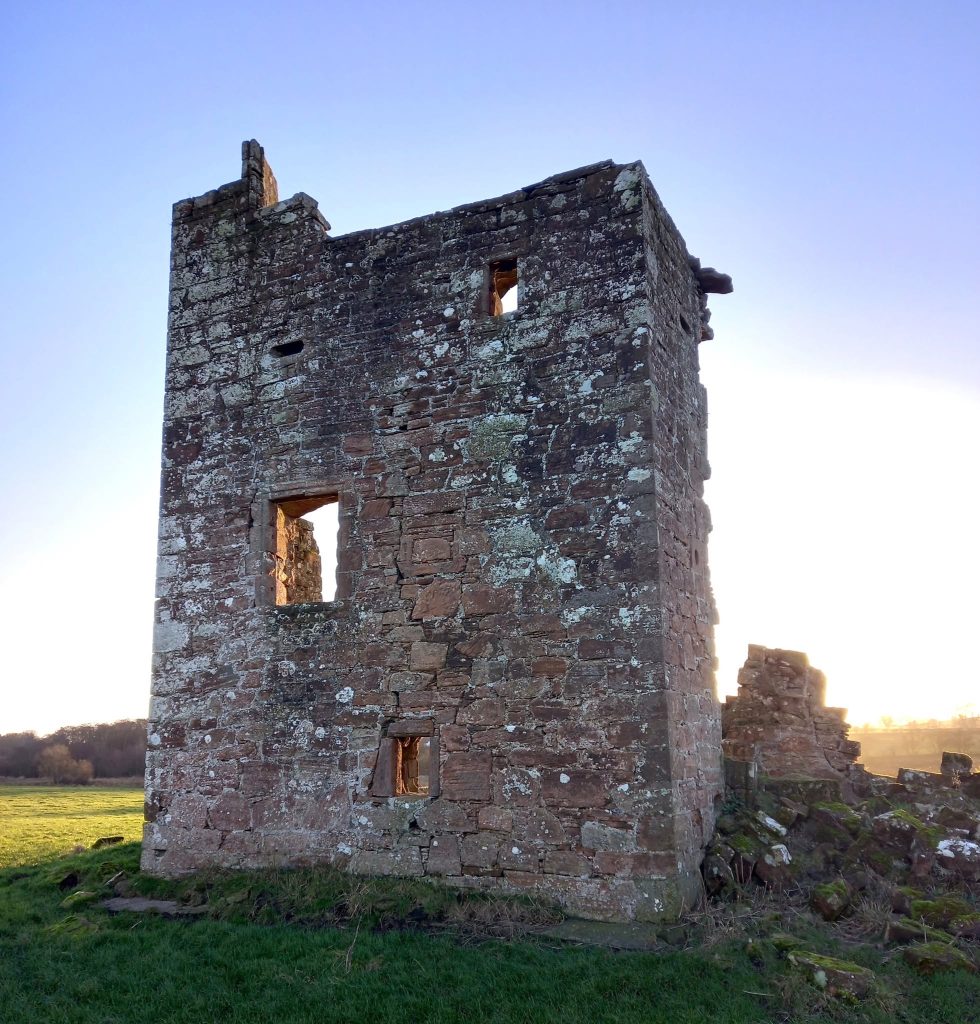
The other alternative at Bankend (in turning right) will take you to the quaint little Georgian kirk and kirkyard of Caerlaverock parish church (below left). From here, another signposted walk leads to the ruined Isle Tower (below right), home of a minor branch of the powerful Maxwell family. It was attacked by invading English forces twice during the sixteenth century. From here it is a straight road to the southern outskirts of Dumfries, at the locality of the Crichton Estate.
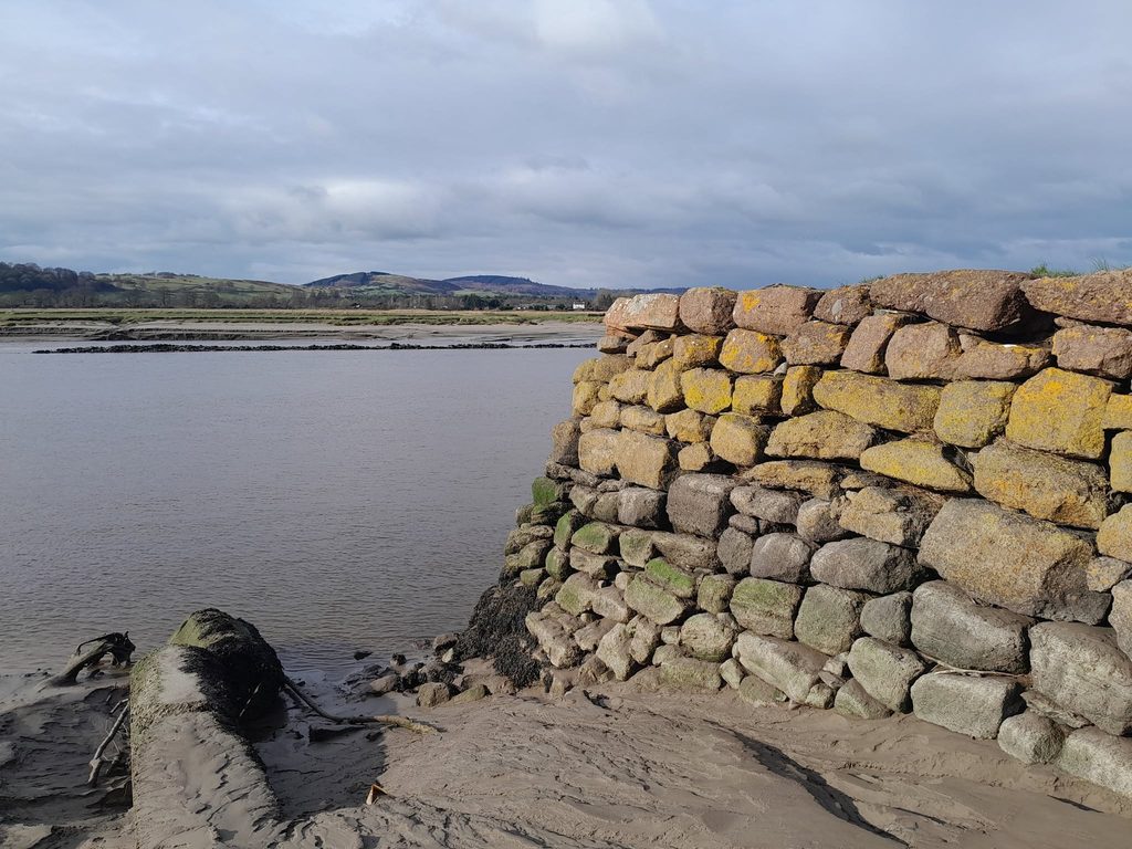
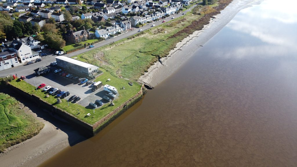
If, however, you turned left at Bankend towards Caerlaverock, soon the road follows the east bank of the River Nith. Arriving at Glencaple, you will encounter the large quay which dates from the mid-eighteenth century. It was once an important point for ships trading all across the world, and a departure point for emigration – notably to the ‘Americas’. There is ample parking on the quay itself, and an excellent café-restaurant & shop in the form of ‘The Boathouse’. (images: left, corner of old quay looking across the Nith to Kirkcudbrightshire; below – mini-drone view of quay, River Nith, and Glencaple village).
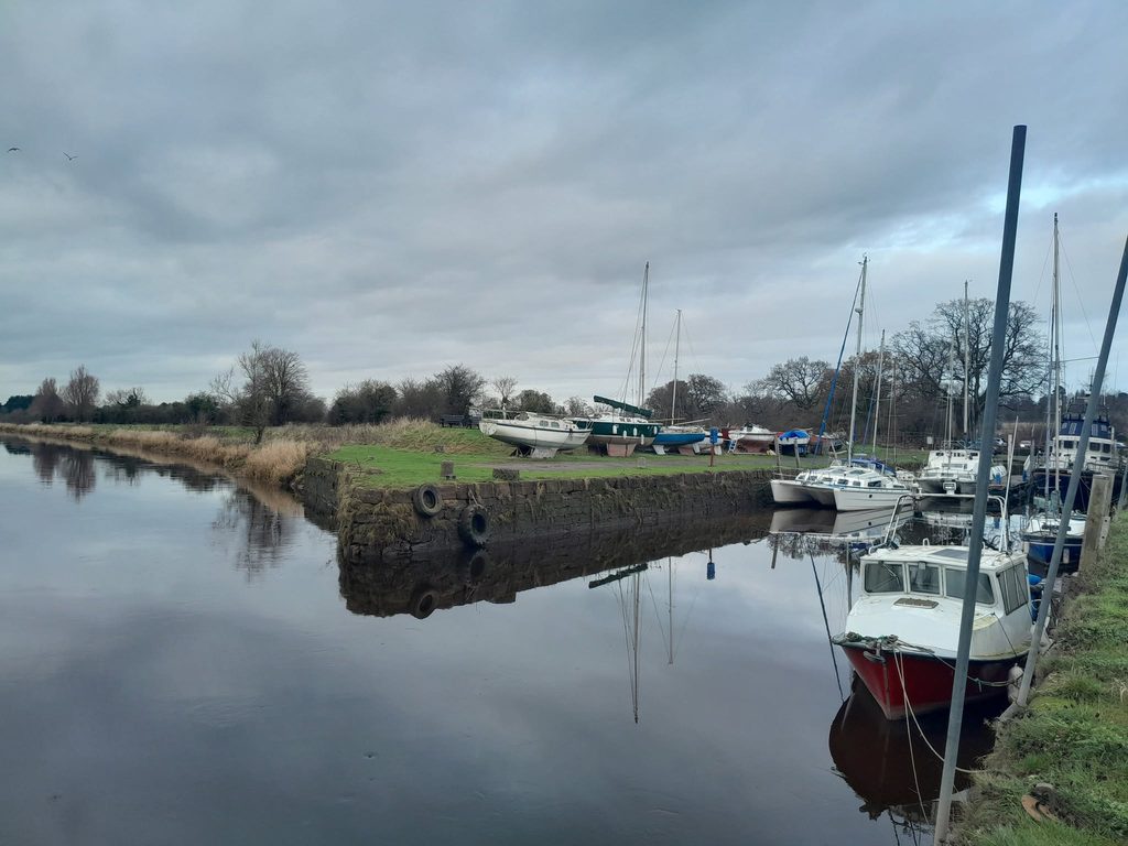
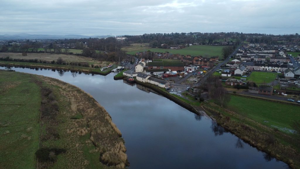
A straight road continues to the hinterland of Dumfries. Follow the sign to the your left down to Kingholm and specifically Kingholm Quay. Like its equivalent at down-river Glencaple, this was another important shipping point for the ‘Port of Dumfries’ as developed during the eighteenth and nineteenth centuries. This entire stretch of the river between Glencaple and Dumfries can be followed by a pathway. (images of Kingholm Quay from the ground and from above).
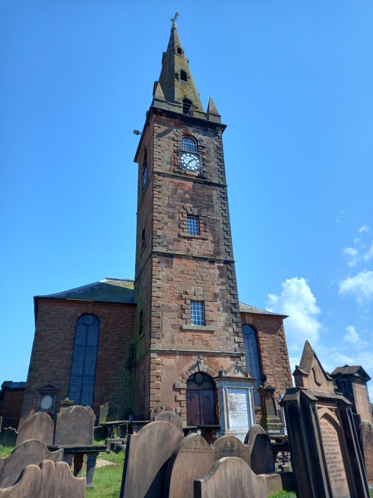
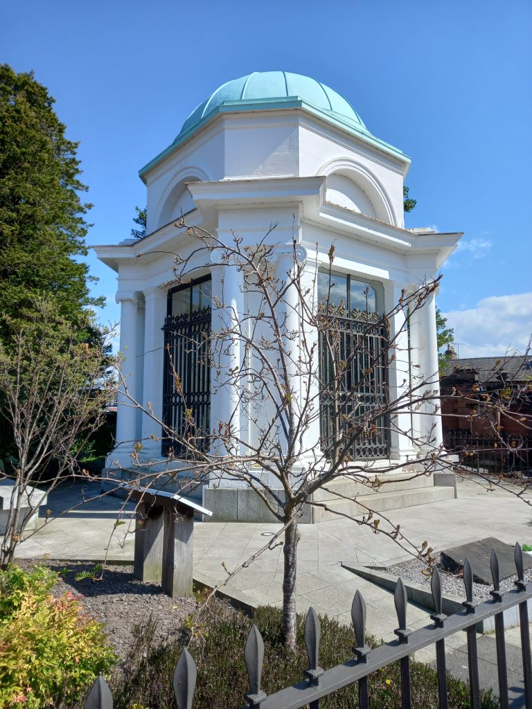
Whichever route is taken, you will of course arrive in the town of Dumfries itself – a lively town rich in heritage (not least concerning Robert Burns). From here, in leaving Dumfriesshire your exploration of Galloway can begin. (images below: St Michael’s Church and churchyard, Burns Mausoleum, Burns Statue).